Snowstorm Update For March 24
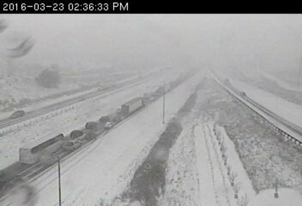
A Winter Storm Warning continues until 7AM for south-central Minnesota and until noon in the southeastern part of the state. The heavier snow band shifted from where they originally predicted. MnDOT as of 5AM advises no travel in the southeastern corner of the state and the Albert Lea area. Get the latest driving info at 511mn.org or dial 511 on your phone.
As of 5AM, Jerry Groskreutz measured 3 inches at the studio. Here are some of the other totals.
- 12 inches Savage MN Scott 0715 PM
- 11.50 inches Burnsville MN Dakota 0820 PM
- 11 inches 2 S Lakeville MN Dakota 0955 PM
- 10 inches 2 W Prior Lake MN Scott 0850 PM
- 10 inches 2 SE Burnsville MN Dakota 0655 PM
- 10 inches Cottage Grove MN Washington 0830 PM
- 9.50 inches Eagan MN Dakota 0750 PM
- 9 inches 2 SSE Apple Valley MN Dakota 1010 PM
- 9 inches 1 WSW Apple Valley MN Dakota 0735 PM
- 8.8 inches 3 E Knapp WI Dunn 0700 PM
- 8.5 inches River Falls WI Pierce 0730 PM
- 8.5 inches 2 WSW Inver Grove Heights MN Dakota 0815 PM
- 8.2 inches 4 NNE Hastings MN Washington 1000 PM
- 8 inches 1 ENE Inver Grove Heights MN Dakota 0615 PM
- 8 inches Farmington MN Dakota 0825 PM
- 8 inches 5 N Elk Mound WI Dunn 0920 PM
- 8 inches 3 N Tainter Lake WI Dunn 0800 PM
- 7.8 inches New Prague MN Scott 0918 PM
- 7.3 inches Rosemount MN Dakota 0955 PM
- 7 inches Menomonie WI Dunn 0830 PM
- 7 inches Chippewa Falls WI Chippewa 1020 PM
- 7 inches 1 SE Woodbury MN Washington 0820 PM
- 7 inches 2 NW River Falls WI St. Croix 0555 PM
- 6.5 inches Arlington MN Sibley 0620 PM
- 6.1 inches Eau Claire WI Eau Claire 1056 PM
- 6 inches Springfield MN Brown 0615 PM
- 6 inches Bloomington MN Hennepin 0715 PM
- 5 inches Boyceville WI Dunn 0600 PM
- 4.7 inches Carver MN Carver 0905 PM
 Source: Snowstorm Update For March 24
More From KQCL Power 96