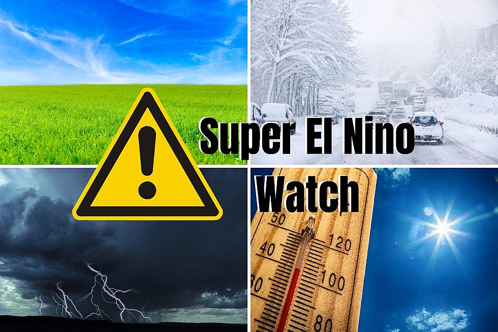
Super El Nino Watch: How Minnesota’s Weather Could be Impacted
Meteorologists are on the lookout for not just a regular old El Nino to develop in the coming months but a SUPER El Nino. What the heck is that and how could that impact our weather in Minnesota?
What's an El Nino?
You've heard about La Ninas, right? We've been in a La Nina for the past three years, according to Sven Sundgaard with Bring Me the News. La Ninas are when the "waters in the eastern tropical Pacific, off the west coast of South America" are colder than normal.
An El Nino is the opposite of that. The waters are, at that time, warmer than normal.
What About a Super El Nino?
There can be Super El Ninos and Super La Ninas. When 'super' is added to the beginning, basically that means the water temperatures are more extreme one way or the other. So either a lot colder than normal or a lot warmer than normal.
So what does that mean for us in Minnesota?

How a Super El Nino Could Affect Minnesota
There's no guarantee that we'll hit a Super El Nino but it definitely appears we're at least heading in the direction of a regular El Nino at the very least.
Either way, what that means for us here in Minnesota is drier and warmer weather. El Ninos and La Ninas apparently affect winters the most so that means if it's true that we're heading into an El Nino (if not a Super El Nino) we should see a drier and warmer winter this next winter.

LOOK: The most expensive weather and climate disasters in recent decades
Gallery Credit: KATELYN LEBOFF
More From KQCL Power 96